Documentation Index
Fetch the complete documentation index at: https://docs.geocoders.io/llms.txt
Use this file to discover all available pages before exploring further.
What is Geocoders?
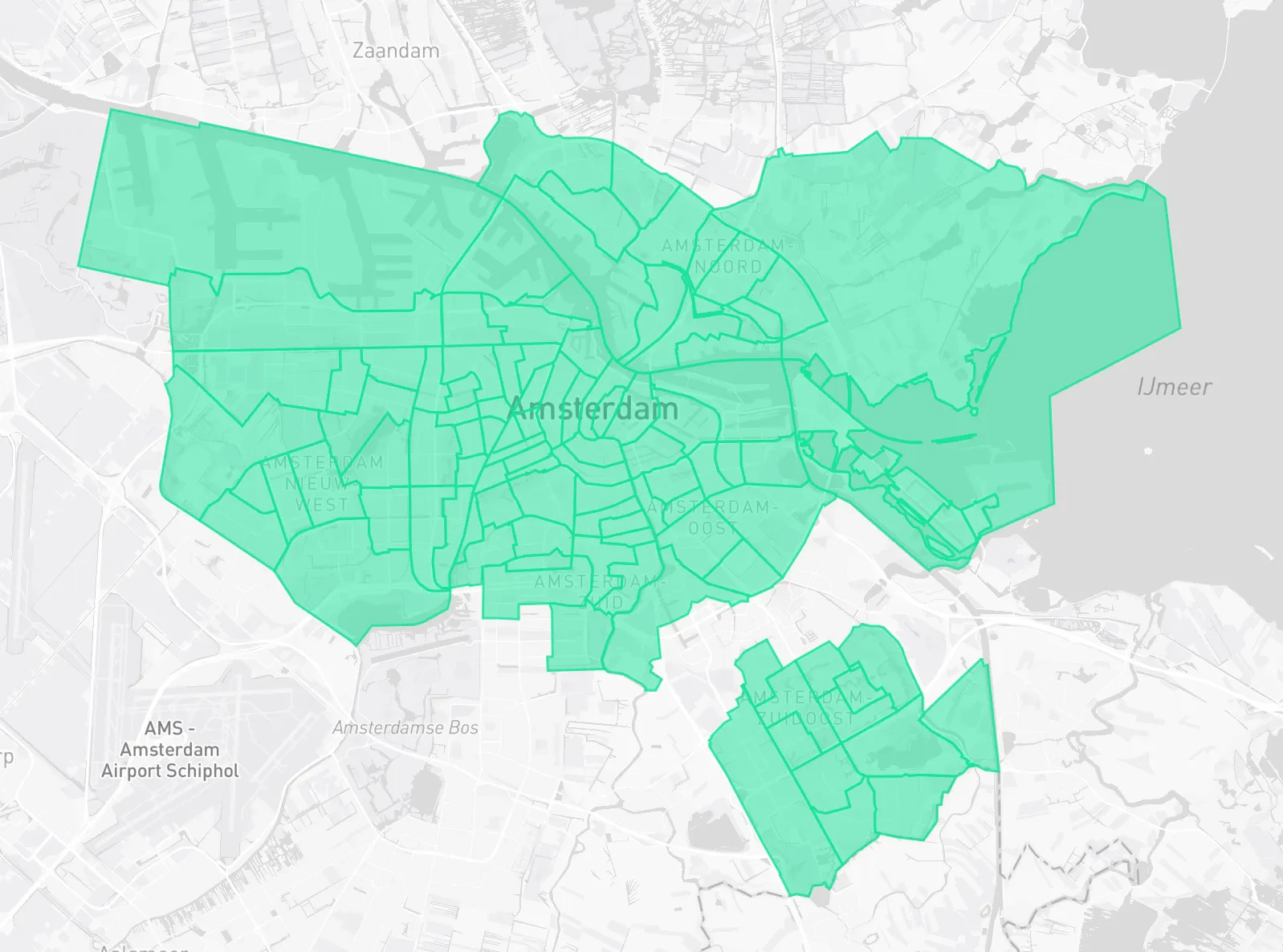
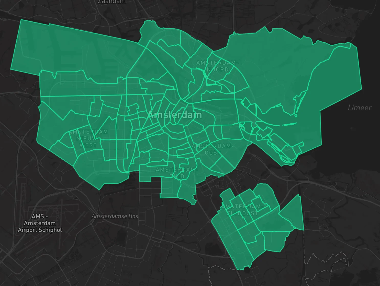
Geocoders is a blazingly fast, easy-to-use platform and API tool that provides easy access to high-quality geospatial data and services. It allows users to query geospatial data via a Dashboard or integrate directly via a high-performance API.Our initial offering covers the Benelux (Belgium, Netherlands, Luxembourg) region.
From country, and province down to suburbs, and buildings,
with more data constantly added.
Get Started with 4 easy steps:
Enjoy your new geospatial data superpowers 🚀
Signup
Signing up for Geocoders is free and easy! With a magic link you can have a verified account in less than a minute. You can sign up by clicking here or heading to Geocoders.io.Create Developer Account
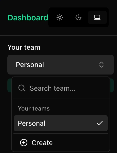
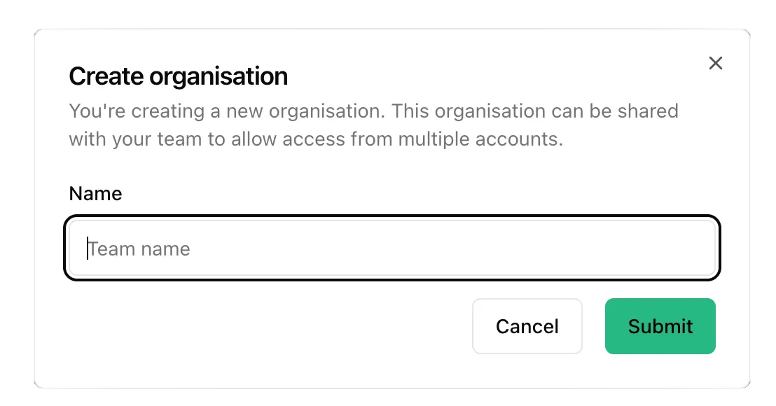
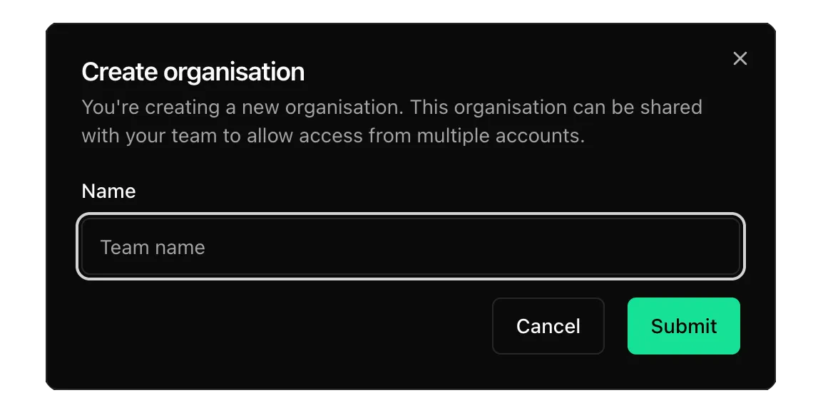
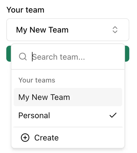
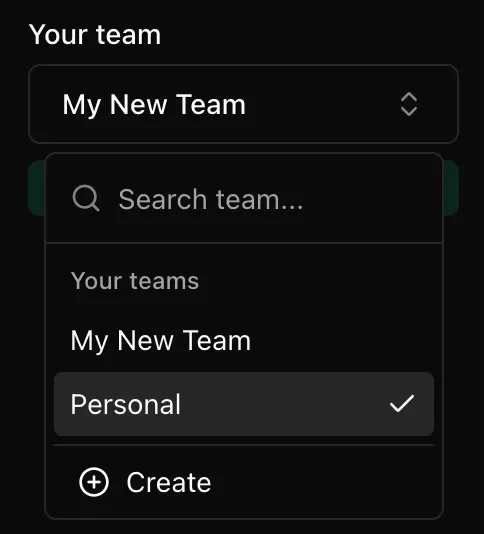
Once you have signed up you will be greeted with the Geocoders Dashboard. By default your team account will be set to personal. You can search for a team or create a new one by clicking + Create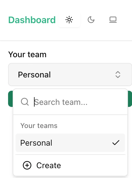
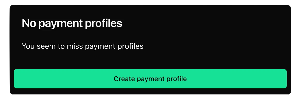
Add Payment Method
When you first log into the Geocoders Dashboard you will need to add a payment profile in order to use the APIs. This can easily be added by either clicking on the Create payment profile button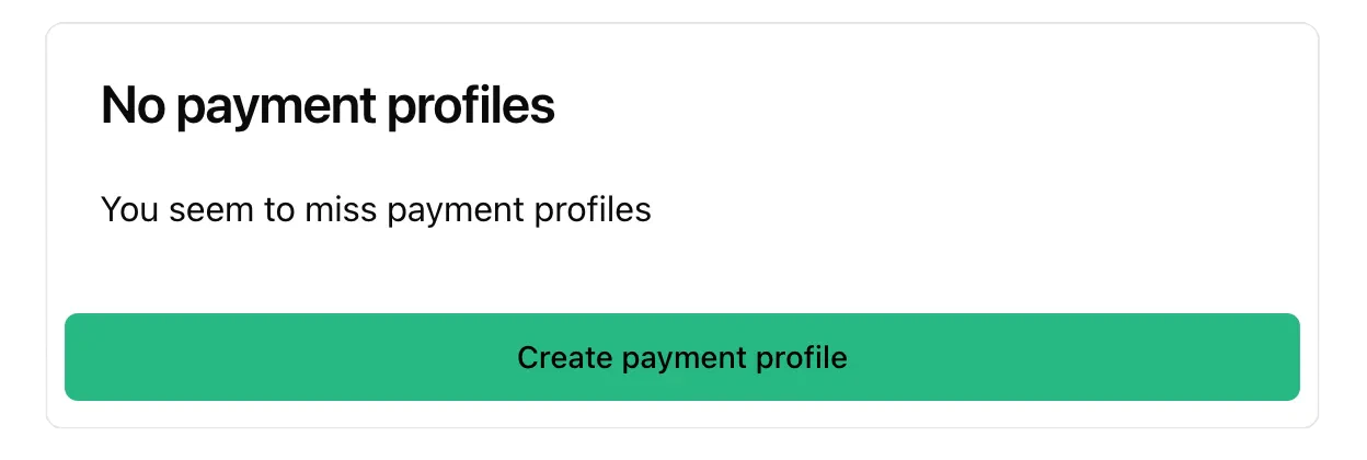
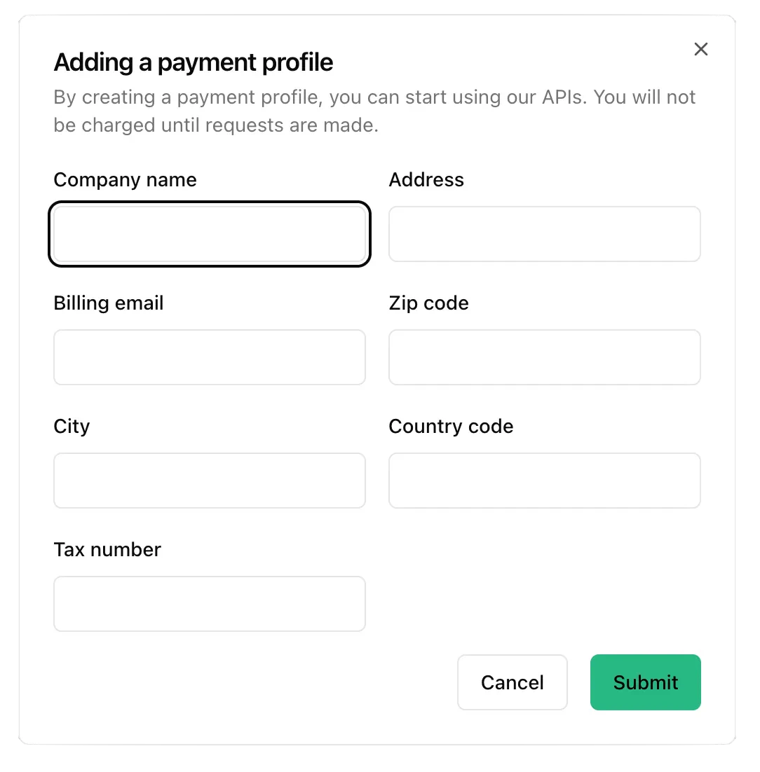
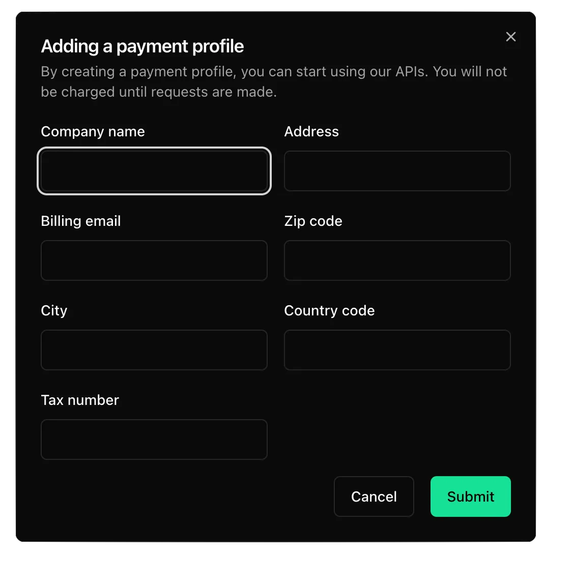
Please Note: Geocoders currently only accepts creditcards
Supported Payment Methods
Supported Payment Methods
| | | For more information about Accepted Cards please refer to Stripe
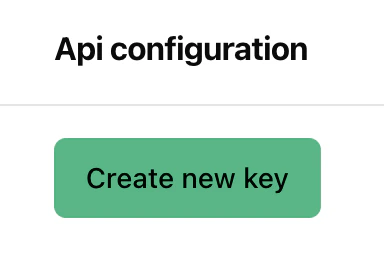
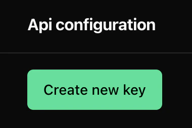
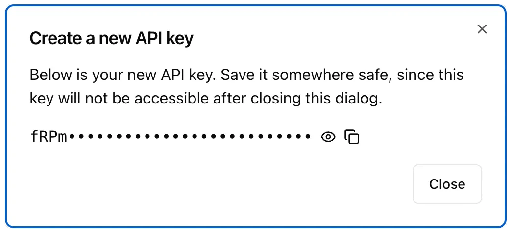
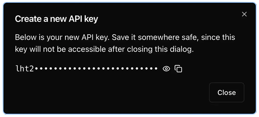
Create an API Key
To use the Geocoders Platform or API you will need an API Key. This can easily be created in the Geocoders Dashboard. Navigate to the API Keys panel and click the Create new key button.